Geo-IT Consulting
We empower you to systematically utilize, manage, and integrate spatial data into your core business processes.
Analytics
Modeling
Optimization
Integration
Support
Why Geo-IT Consulting?
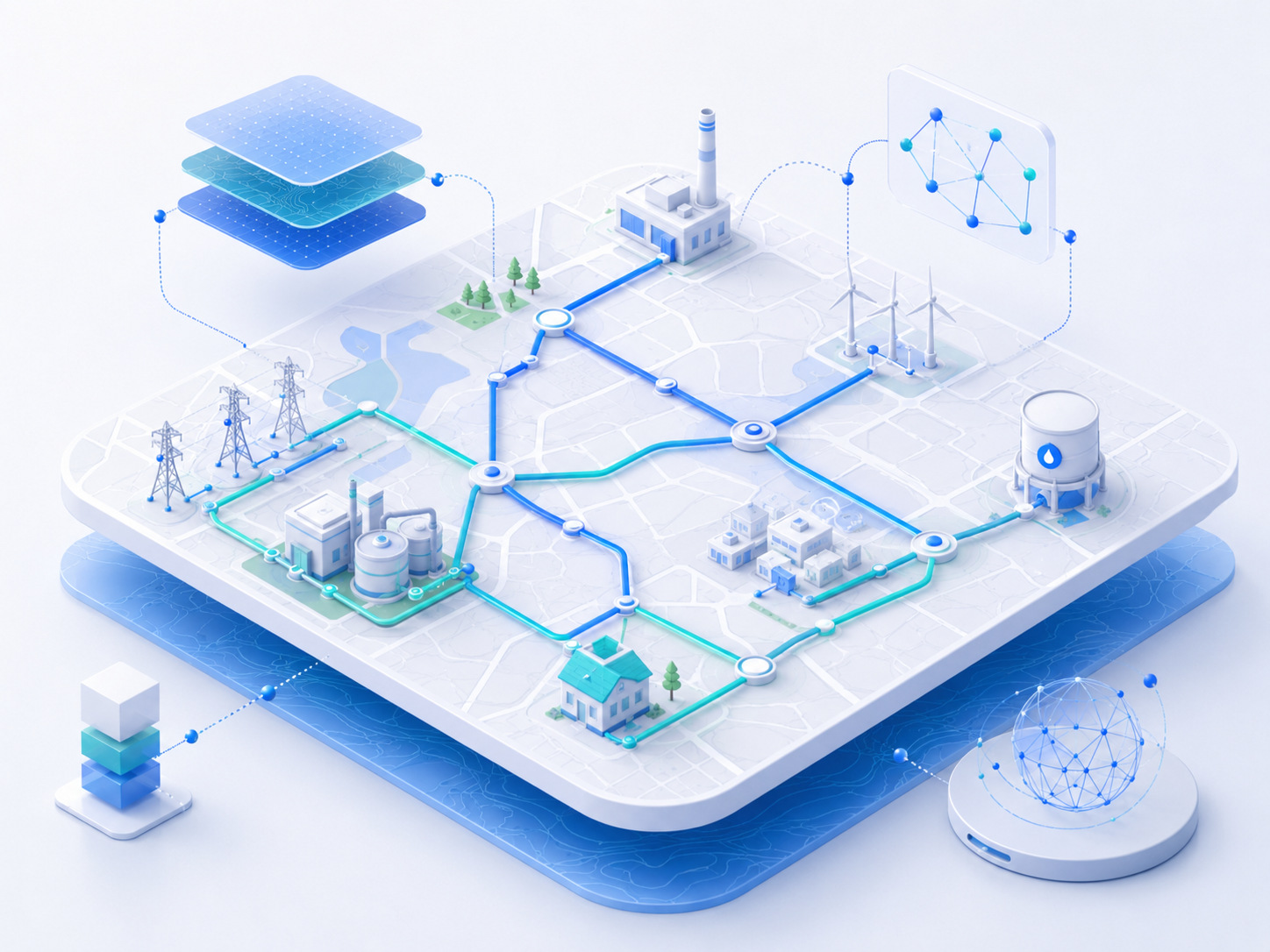
We support you in the analysis & planning of GIS strategies and architectures, as well as the acquisition, modeling, and integration of geospatial data into enterprise IT systems.
Our expertise includes the implementation, customization, and optimization of GIS solutions, along with the seamless integration of GIS with Asset Management, SCADA, SAP/ERP, and other critical systems. We also provide comprehensive training and support for internal users.
Key Benefits for Utilities
- Efficient Network and Asset Management Geo-IT Consulting ensures that all infrastructure and network components are spatially accurate and centrally managed, providing a reliable data foundation for planning, operations, and maintenance.
- Enhanced Decision-Making via Data Integration By connecting GIS data with other enterprise systems, we create a comprehensive, real-time overview of assets, processes, and risks.
- Optimized Business Processes & Resources Save time and costs through automated workflows and the seamless use of mobile data in the field for maintenance, deployments, and routing.
- Operational Safety and Regulatory Compliance Identify risks faster and ensure full compliance with legal documentation and reporting requirements through spatial analytics.
- Improved Stakeholder and Customer Communication Enhance transparency and clarity for customer service and public relations through high-quality maps and reports.
Ready to discuss your project?
Contact us for a personal consultation and find out how we can support you with your technical challenges.